Great Basin
Contact
University of Arkansas Division of Agriculture
Cooperative Extension Service
2301 S. University Ave.
Little Rock, AR 72204

Great Basin
I write this at a picnic table somewhere along the loneliest road in America, U.S. Route 50 in central Nevada. The loneliest road moniker, no doubt cooked up by the Chamber of Commerce people who support the small towns that dot its path through the high desert, was ratified by the Nevada legislature in 1987. It isn’t really all that lonely and you don’t need to spend the cash to buy the booklet telling how to survive the journey. But it is a lightly traveled two-lane with few trucks, so for the traveler it is a real treat.
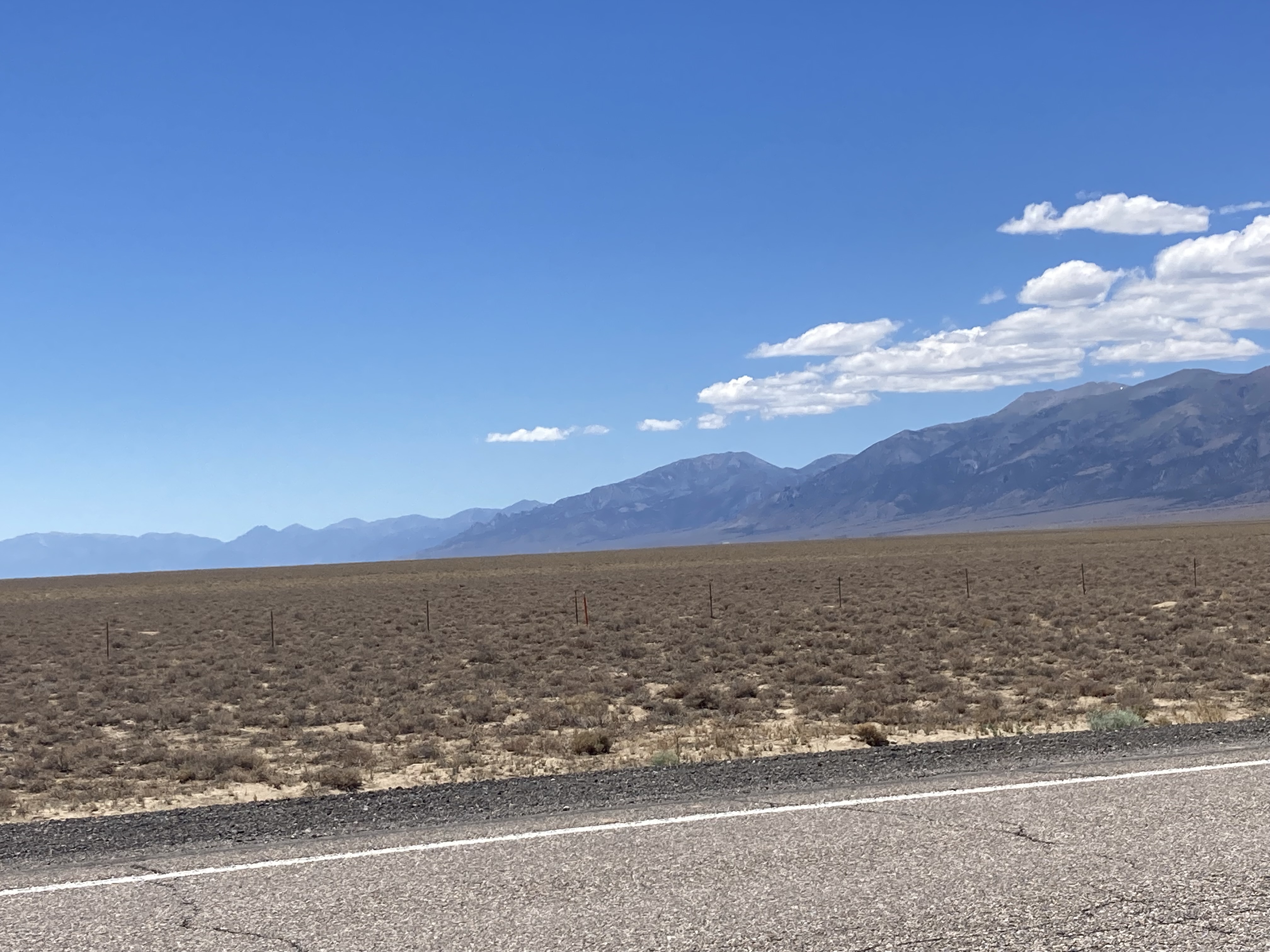
The road traverses two unique geological features of the United States. It cuts right through the middle of the Basin and Range Province of the inner mountain west and through the Great Basin.
The Basin and Range Province is that huge piece of real estate between the Rockies and California’s Sierra Nevadas where there are innumerable smallish mountain ranges but few nosebleed peaks. About 70 million years ago the collision of tectonic plates began pushing up the Rock Mountains. The pushing and shoving eventually stopped, and about 30 million years ago, the plates began to pull apart.
This tension thinned the earth’s crust. During this period, the western edge of Nevada moved westward several hundred miles (estimates vary) while its eastern boundary stayed put. This stretching and thinning caused cracks to form in the crust, leaving behind large blocks of crust. Eventually, one side of the block subsided while the other rose in a series of one-sided faults. Erosion from the high side filled in the lower side with several thousand feet of sediment, creating the flat basins between the low peaks. While this type of mountain building occurred from Idaho to Arizona, it dominates the Nevada landscape.
The continental divide that snakes across the mountainous west is well-known. Water that falls on the east side of the divide runs into the Mississippi River and then down to the Gulf. Water falling to the west ends up in the Pacific. The Great Basin, nestled securely in the inner mountain west, has no outlet to the sea.
This enormous bathtub includes nearly all of Nevada, the western third of Utah and small slices of California, Oregon and Idaho. The sparse water that falls into this high desert region runs into the numerous basins, marshes and salt flats, as well as into the Great Salt Lake. During wet periods over the past two million years, enormous inland seas formed. The largest and best studied of these was Lake Bonneville, which covered an enormous area about 15,000 years ago when it broke free of its empowerment and created the Snake River as it now exists.
But today in the dry epoch we have been in since the retreat of the glaciers about 10,000 years ago, there is not enough water to fill local basins to overfull. Instead the water just accumulates for a short time in the spring as the snow melts, eventually evaporating with the summer heat.
Nevada has more than 80 mountain ranges because of these numerous tilted blocks and more than 200 named valleys, few of which are connected by internal river drainages. These are north-south trending, with the ranges usually 10-15 miles wide and 40-60 miles long, rising several thousand feet above the basin plain. The basins are the same length as the mountain range they formed from but are usually a bit wider. Most of the Nevada mountains are so dry they only support juniper and pinion pine forests that occasionally bleed out onto the basin until they give way to a sagebrush flat.
Some of the ranges, because of volcanism that reached the surface, are high enough to become islands in the sky. At over 10,000 feet, they are high enough and wet enough to support conifer forests — ponderosa pine, Douglas fir, limber pine, Engleman spruce and bristlecone pines. These islands are separated by a sagebrush sea so most of the plants and animals that live there have evolved to survive in that isolated area.
While this dry and dusty land lacks the lush greenness of my Arkansas home, it is still an interesting and beautiful place. And the beautiful rocks out here aren’t covered up in all that greenery.