Crowley’s Ridge
Contact
University of Arkansas System Division of Agriculture
Cooperative Extension Service
2301 S. University Ave.
Little Rock, AR 72204

Crowley’s Ridge
The farm boy in me cannot help but be fascinated by travel on the small backroads in the upper Arkansas delta. Wintertime travel presents a barren, tabletop flat landscape with deep drainage ditches on either side of the roadway and an element of forsaken and forgotten grandeur. As you travel these flat lands, the Ozark uplift stands out in relief in your rearview mirror while, on the far horizon, Crowley’s Ridge begins to rise in the east.
Crowley’s Ridge is a 200-mile-long narrow ridgeline that extends in the upper Mississippi River delta from Thebes, Illinois in the north to Helena, Arkansas in the south. At its narrowest point, it is just a mile wide but in places as much as a dozen miles across. Its average height is just under 200 feet but rises to as much as 550 feet in some places.
Though not impressively tall, the ridgeline stands out in stark relief to the floodplain that surrounds it to the east and west. It is named for Benjamin Crowley (1758 – 1842), credited with being the first American citizen to establish a homestead on the ridge. Originally from Virginia, he and his family first moved to Georgia, then Kentucky and finally Missouri Territory sometime before 1817. In 1819 Arkansas Territory was formed, cleaving it from the larger Missouri Territory that was founded in 1812. Crowley found his new farm now in Lawrence County, Arkansas. In 1821 he relocated from his homestead on the flat delta land along the Spring River to the ridge where he established a settlement he called Crowley Ridge. In 1833 Green County was split off from Lawrence County with the new county seat originally located in Benjamin Crowley’s home.
Crowley’s Ridge State Park is the site of Benjamin Crowley’s original farm and a large stone marker erected by CCC workers in the 1930s marks his grave. Most of the larger cities of the Mississippi Delta region have followed Crowley’s lead and been built on the higher and drier lands of the ridge.
The long-held view – first put forth in 1891 – on how the ridge formed has been changing in recent years as new seismic data is becoming better known. The original theory was that the ridge was formed with the melting of the ice from the last ice age when the ancestral Mississippi River ran west of the ridge and the ancient Ohio River ran to the east, leaving a slender sliver of land between these two mighty river systems.
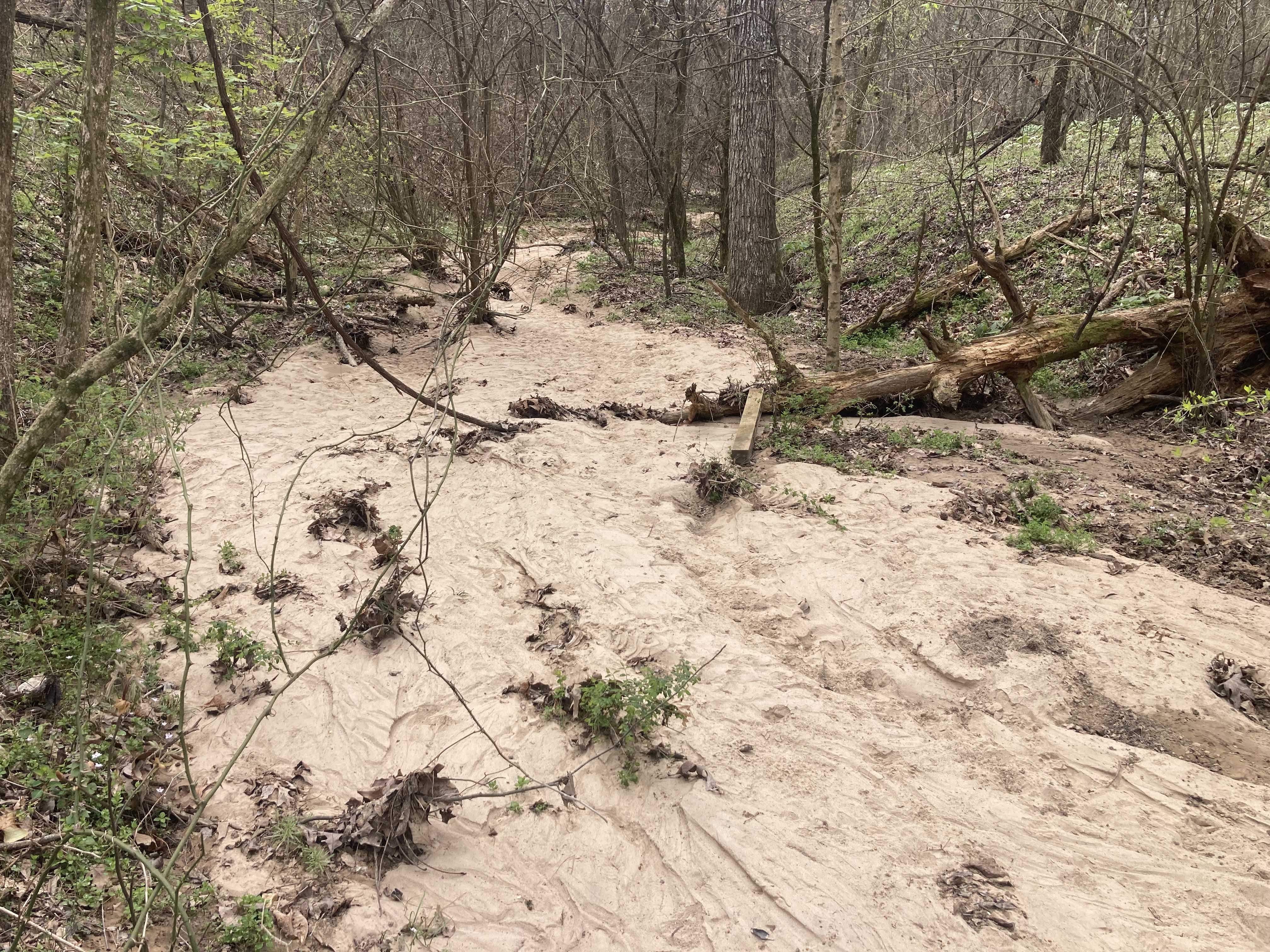
That there were river deposits is clear enough, for the bottom section of the ridge is awash in unconsolidated (not yet bound together to form a rock) sand, gravel and clay deposits. The gravel pieces are rounded and show obvious signs of being polished in a river setting and then deposited. The top 30 feet of the ridge is covered in wind-borne loess soil. This fine-grained sand deposit is thought to have accumulated atop the earlier deposits as winds blew across the dry, barren landscape left by the retreating ice sheet. Carbon dating confirms that these loess deposits are between 17,850 and 21,270 years old and match well with the warmer, drier landscape and the timeline left by the retreating ice.
What the new explanation for the creation of Crawley’s Ridge provides is seismic evidence that the ridge represents the western boundary of the New Madrid seismic zone which was the site of the largest reported earthquake in North America. This series of quakes occurred in late 1811 and early 1812 and caused the Mississippi River to flow backward for two days as Tennessee’s newly formed Reelfoot Lake filled with water.
This ancient seismic zone marks a deeply buried, one billion-year-old rift where the ancient North American Continent tried to pull apart. The whole delta region represents a geological area known as the “Mississippi embayment,” a low-lying landscape that fills with saltwater during times of high ocean levels and becomes a shallow bay that fills with sediments when ocean levels are low. The gravel deposits found in the ridge date back millions of years and are believed to have been uplifted from this sedimentary basement. When the uplift occurred is unclear but once uplifted, the loess soils were deposited on top like frosting on a cake.
