Butterfield Overland Mail Route
Contact
University of Arkansas System Division of Agriculture
Cooperative Extension Service
2301 S. University Ave.
Little Rock, AR 72204

Butterfield Overland Mail Route
I have a fondness for following old roads. This may seem like an about-face from discussing nature, as roadways and trails are an assault on the status quo of the natural world. In 1858, when the Butterfield Overland Mail route opened, it was the first transcontinental superhighway to unite the East and West Coast. I had previously driven the Missouri and western Arkansas sections of the route, so a few weeks ago I followed the stagecoach route through the southeastern corner of Oklahoma, hunting the monuments that mark where the dozen stage stops were located.
In January 2023, the Butterfield Overland Mail route became one of the 21 National Historic Trails administered by the National Park Service. Later that year, Park Service officials held meetings along the 2,000-mile route, discussing how to best present the story of the historic trail while protecting the interests of land owners. When the plans are finalized, a driving route will be marked with roadway signage that approximates the old roadway from Missouri and Memphis to its final destination in San Francisco.
The route selected was the southern route from Fort Smith, Arkansas through El Paso, Texas to Tucson, Arizona and then on to San Francisco. It was selected because the $8 million contract required twice-weekly dispatches and it was feared a more northerly route would be hampered by snow in the winter. But this southern route only operated from 1858 until 1861, when hostilities caused by the Civil War forced a route change to the north through Kansas and Colorado. Mail service by coach carriers stopped completely in 1869 with the completion of the transcontinental railroad.
Two routes for mail and passenger service crossed Arkansas. The route from St. Louis used the railroad until it ended at Tipton, Missouri, then followed the existing roadway through Springfield, Missouri to Fayetteville, Arkansas and south through the Boston Mountains to Fort Smith. One rider claimed the Fayetteville to Fort Smith route, only about 60 miles, featured some of the worst roads of the entire trip.
The route from Memphis, Tennessee to Fort Smith was troubled from the beginning. Initially, mail and passengers were to travel by steamboat to Fort Smith, but in 1858 the river level was too low so they had to switch to an existing stagecoach line. Eventually they settled on riverboat to near Little Rock, then, according to river level, used various stage coach routes on to Fort Smith. Many of the river bottom roads became a quagmire in wet weather.
The route from Fort Smith to the Red River is about 200 miles and took drivers about two days to complete. The stations were spaced 12-18 miles apart through the western Ouachita Mountains. Oklahomans call these the Winding Stairs Mountains. The valleys are wide and flat with the highest ridge tops around 1,600 feet and covered in short leaf pines and oaks. It is beautiful ranching country.
As is usually the case with roads, they are seldom new. The Butterfield Mail route through western Arkansas followed the old overland military supply road from St. Louis to Fort Smith that was built in the 1820s. That road, in turn, followed an old Indian trail that itself probably followed an even older game trail. The Oklahoma route followed the old Texas Road that stopped at Boggy Depot before heading south across the Red River. This old roadway predates the arrival of the Choctaw Indians in Indian Territory in 1838.
The Overland Mail route carried both passengers and mail but not gold or other valuables. Butterfield acquired more than 100 wagons of various designs and used them on specific sections of the trail. Teams of horses or mules were changed at each station and passengers and drivers only had a short time to scarf down a meal before reboarding for the next leg of the journey. The coaches ran 24/7 and never stopped, but drivers were changed every few stage stops to pick up the eastbound wagon when it arrived. Calling it a superhighway may be an exaggeration, for it usually took 24 days to complete a run. But once it was in service, the road became a major thoroughfare for immigrants heading west.
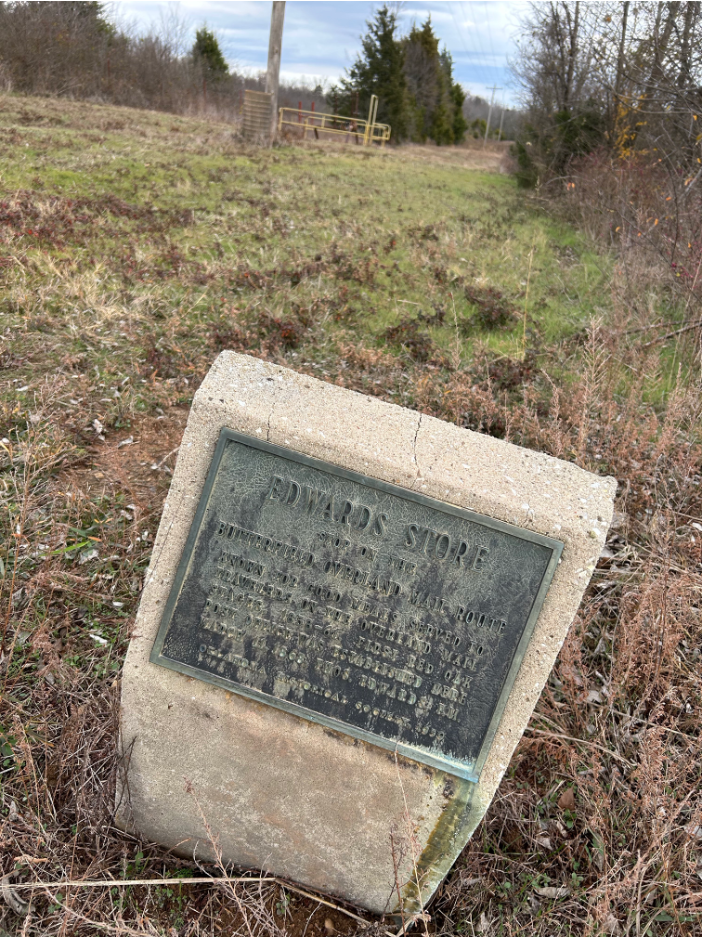
There is only one station still standing on the Oklahoma route — the Edwards Store which is now being restored — but the location markers are relatively easy to find with GPS coordinates. Modernity has mostly bypassed this corner of the world where it is still possible to drive down good dirt roads that follow the old route. The road brought change, but when the railroads and superhighways bypassed the area, the race towards change for change’s sake slowed.